
Generic Plan of Management
Randwick City Council has prepared a Draft Plan of Management (PoM) to guide how ‘community land’ is used, maintained and managed, now and into the future.
It applies to land classified as ‘community land’ under the Local Government Act 1993, and Crown reserves that Randwick City Council manages under the Crown Land Management Act 2016.
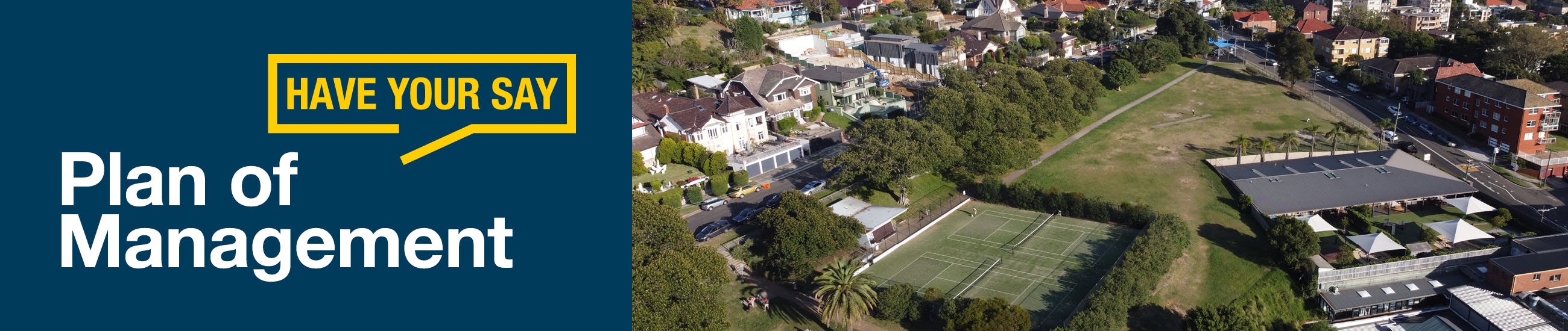
These areas include parks, playgrounds, sports grounds, coastal reserves, natural bushland, and community facilities such as halls, libraries and surf clubs. They are important spaces for recreation, community connection, and protection of the natural environment.
The purpose of the PoM is to:
- Comply with legislative requirements, including the Crown Land Management Act 2016, Local Government Act 1993, and Native Title Act 1993.
- Align with Council’s strategic goals as outlined in the Community Strategic Plan 2022, Local Strategic Planning Statement 2020, Open Space and Recreation Strategy 2021, and Environment Strategy 2021.
- Guide the appropriate use, development and categorisation of land by identifying suitable uses and activities and providing clear direction for leasing, licensing and land management.
- Support consistent and transparent land management that balances current and future community needs and minimises potential conflicts.
- Protect and enhance the natural environment, cultural values and social connections that make these spaces valuable.
- Ensure public land remains accessible for recreation, leisure, and community purposes — now and into the future.
- Reflect community expectations and provide a clear basis for decision-making about how land is maintained, improved and shared.
Land categorisation
Under the Local Government Act, all community land must be placed into one or more categories based on its primary use. The five main categories are:
- Park – used for passive recreation like walking, relaxing, exercising or children’s play. Parks can range from small, grassed areas to larger spaces with facilities such as playgrounds, seating, exercise equipment, bike paths, barbecues and public art. They also contribute to local biodiversity and environmental health.
- Sportsground – areas used for active recreation such as organised sport or outdoor games. These fields are commonly used by local schools, clubs, associations and community groups.
- General community use – land used for activities that support public recreation, learning, cultural engagement and social connection. This includes spaces like community halls, libraries, childcare centres, scout and guide halls, surf clubs and cultural centres.
- Cultural significance – land with important historical, social, archaeological or Aboriginal cultural value. These sites require a specific Council declaration and are usually supported by a site-specific Plan of Management developed with Aboriginal stakeholder input when applicable.
- Natural area – land with ecological value, such as bushland or coastal environments. This category includes:
- bushland
- wetland
- escarpment
- watercourse
- foreshore
The coastal environment is a key feature of the Randwick landscape, valued for its social and cultural connections as well as the recreation and leisure opportunities it offers. A series of coastal maps have been prepared to show the extent of public land along the coastline, as either Crown land or Council-owned community land.
Have your say
To help finalise the draft PoM, we are seeking community feedback to ensure the proposed uses and management of the land reflect community values and needs, and to confirm that the land categories align with how each site is used.
Feedback open: 11 June to 23 July 2025.
If you're unable to make a submission via this website, you can send your comments headed "Plan of Management" to council@randwick.nsw.gov.au or by post to 30 Frances Street, Randwick 2031.
